Brooklyn, NY — Environmental researcher · Community mapper · Builder
Adela Halollari
I'm a high school student in Brooklyn who studies how climate change affects neighborhoods — and builds maps, research and websites that help people deal with it.
Open to internships, research & mentorship
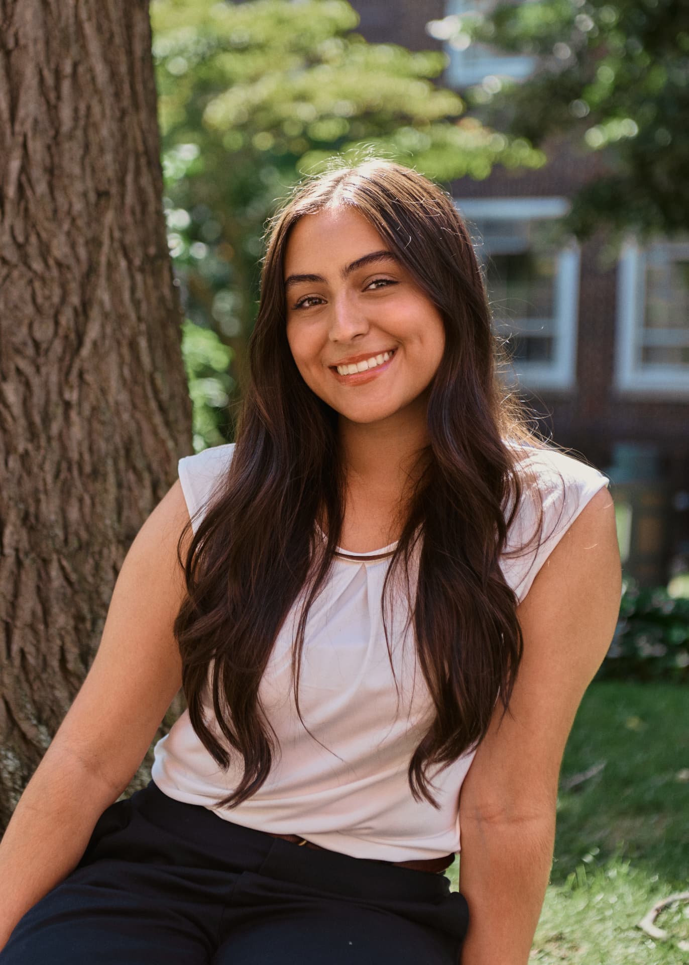
“Be the change”
- Who
- Rising junior, Brooklyn Technical High School
- Where
- Marine Park, Brooklyn, NY
- Goal
- Environmental & energy engineering
- Certified
- NASA Remote Sensing · Claude AI · BKLVLUP Facilitator
Selected work
Two projects, explained simply
New here? Start with this one. No background required — each write-up covers the problem, who it was for, the design decisions and what came out the other end.
Featured project — SideQuest
Sustainable Seedlings
A youth-friendly blog and 30-day challenge that makes small sustainable habit changes feel doable. I did the research, writing, design and site build myself — and published it for anyone to use.
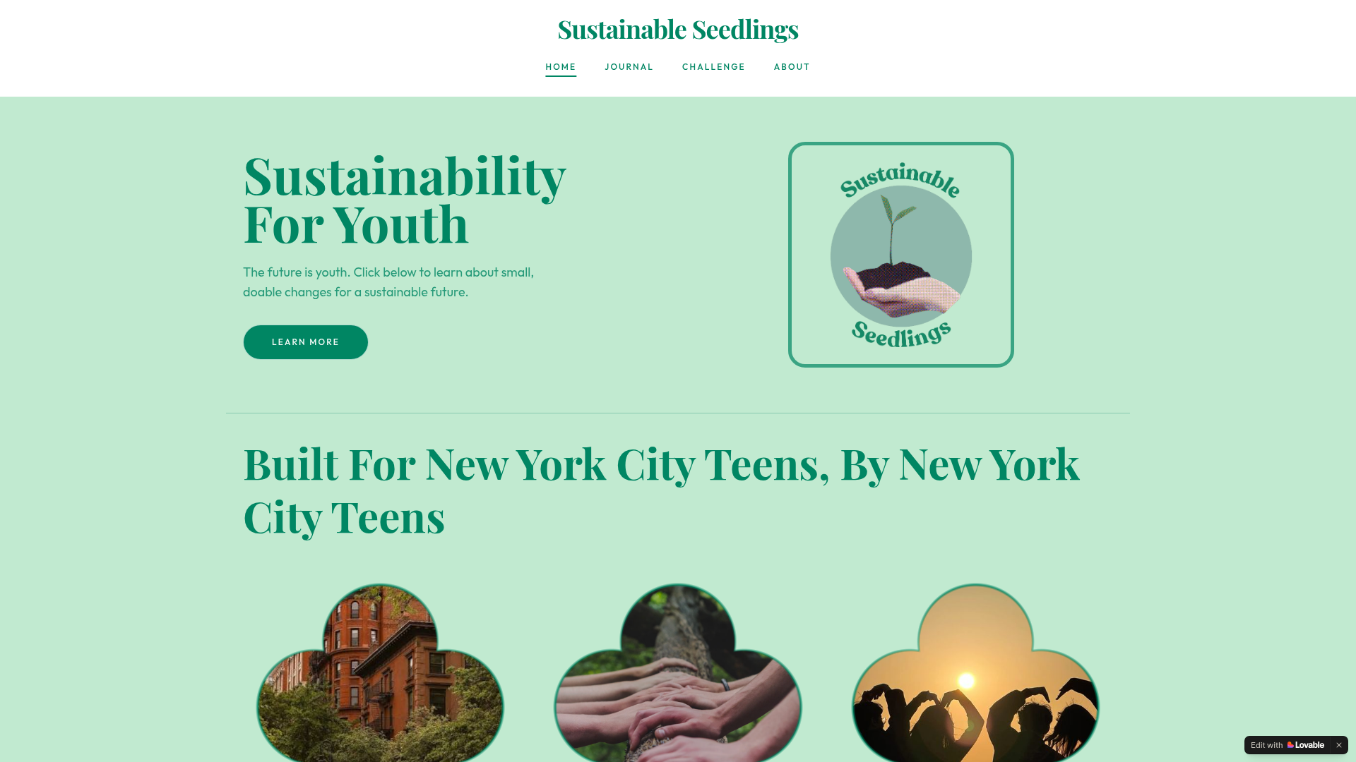
- 4 guides
- Shopping, gardening, home swaps, role models
- 30 days
- A challenge anyone can follow
- Solo build
- Research, design, writing and web
Group project · with Ground3D
Infrastructure Walking Tour of The Flats
East Flatbush has farmers markets, cooling centers, green space and historic sites — but no single map showing them. I mapped infrastructure points on Felt and wrote the annotations so residents can take a self-guided tour from their phone.
- Phone-first
- No login, no jargon, walkable
- GIS mapping
- Felt platform, field notes
- With Ground3D
- Wil and Zoe Voss Lee
A bit about me
Hi! I'm Adela, a rising Junior at Brooklyn Technical High School. Being raised in Marine Park, Brooklyn, I've spent much of my life swinging on playsets, cloud gazing, and walking down winding nature trails in my neighborhood's renowned park.
Full profileCapabilities
What I actually do
Environmental Research
I talk to residents, collect data on the street, and turn it into findings people can use.
Field work, surveys, synthesis
Geospatial Mapping
I make maps that show where resources, green space and flood risk actually are.
Felt, ArcGIS foundations, GIS
Design & Build
I design and publish websites and guides so the research reaches real people.
Web, graphics, AI literacy
Want to work together?
I'm looking for engineering internships, research opportunities, job shadowing and mentorship. The fastest way to reach me is the Connect page.